

 |
 |
 |
Old Roman Cardo
Israel, Jerusalem, 3 March 2009
Overview
On 3 March 2009, Skytamer visited the Jerusalem, Israel. We were part of a Grand Circle Tours group that visited, Israel, Egypt and Jordan. Like most tours, you are always rushed to see all that you can.
The following photos were taken during that visit with a Canon G.10 “PowerShot” 14.7 megapixel camera. Behind the majority of the thumbnail photos shown below is a full-size (4,416 × 2,480 pixel) 16:9 HD formatted photo. A few of the photos had been straightened and cropped. Although copyrighted © by Skytamer Images, none of the photos contain messy copyright notices. They all look like they came straight out of your camera … Enjoy! These photos are for your personal use only, and are not to be used for commercial purposes without written permission from Skytamer Images.
In ancient Roman city planning, a cardo or cardus was a north-south-oriented street in cities, military camps, and coloniae. Sometimes called the cardus maximus, the cardo served as the center of economic life. The street was lined with shops, merchants, and vendors.
Most Roman cities also had a Decumanus Maximus, an east-west street that served as a secondary main street. Due to varying geography, in some cities the decumanus is the main street and the cardo is secondary, but in general the cardus maximus served as the primary road. The Forum was normally located at the intersection of the Decumanus and the Cardo. The cardo was the “hinge” or axis of the city, derived from the same root as cardinal. The term “cardus” is derived from the north-south line the augurs would draw when making the auspices.
The Cardo in the Old City of Jerusalem is a good example. After the Jewish rebellion of 70 CE was crushed by Titus' troops, Jerusalem was renamed Colonia Aelia Capitolina, and a long colonnaded Cardo was built, running across the city from north to south.
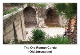
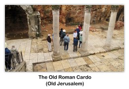
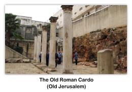
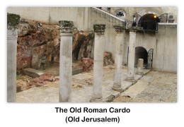
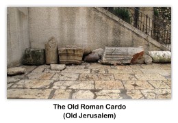
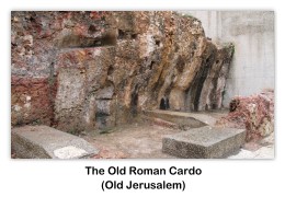
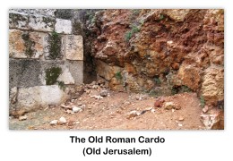
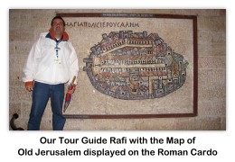
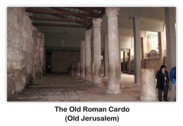
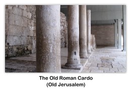
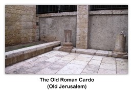
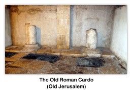
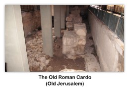
In 1971, a plan for reconstructing the Roman Cardo was submitted by architects Peter Bogod, Esther Krendel and Shlomo Aronson. Their proposal relied heavily on the sixth century Madaba map, a mosaic map of Jerusalem found in 1897 in Madaba, Jordan. The Madaba Map clearly showed the Roman Cardo as the main artery through the Old City. Bogod, Krendel, and Aronson proposed the construction of a covered shopping arcade that would preserve the style of an ancient Roman street using contemporary materials. Their plan was based on the hope that archaeologists would find remains of the southern end of the Cardo, an extension of the north-south Roman thoroughfare built during the Byzantine era (324-638).

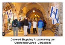
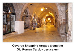
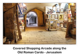
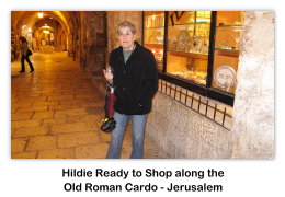
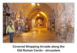
Time was of the essence and mounting pressure to repopulate the Jewish Quarter led to the construction of a superstructure which allowed the residential buildings to be built while the archaeologists continued to work below. The project was 180 meters in total and was divided into eight sections to allow for construction teams to move quickly from one section to another depending on the needs of the archaeologists. By 1980, 37 housing units and 35 shops were built, incorporating archaeological finds such as a Hasmonean wall from the second century BCE and rows of Byzantine columns. The combination of old and new is also visible on the Street of the Jews, where the shops have been set into old vaults and the gallery is covered by an arched roof containing small apertures to allow for natural lighting.
This concludes our visit to the Old Roman Cardo located in Jerusalem, Israel. We hope you enjoyed your visit. Please remember that the photos used on this webpage are copyrighted © by Skytamer Images, and are for your personal use only. Commercial use of these images requires written permission from Skytamer Images.
References
- Shupek, John, “Skytamer Images Photo Archive”
- Google Earth, “Satellite Image”
- Wikipedia, Cardo
Copyright © 1998-2019 (Our 21st Year) Skytamer Images, Whittier, California
All rights reserved


