

 |
 |
 |
Masada National Park
Israel, Masada, 7 March 2009
Masada Overview[1]
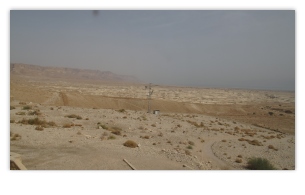
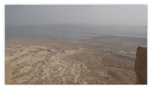
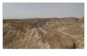
Masada is the name for a site of ancient palaces and fortifications in the Southern District of Israel, on top of an isolated rock plateau, or horst, on the eastern edge of the Judaean Desert, overlooking the Dead Sea. Masada is best known for the violence that occurred there in the first century CE. In the final accords of the First Jewish-Roman War, the Siege of Masada by troops of the Roman Empire led to the mass suicide of the Sicarii rebels. Masada is located at 31°18'56"N, 35°21'14"E, about 20 km (12 mi) east of Arad.
The following photos were taken during that visit with a Canon G.10 “PowerShot” 14.7 megapixel camera. Behind the majority of the thumbnail photos shown below is a full-size (4,416 × 2,480 pixel) 16:9 HD formatted photo. A few of the photos had been straightened and cropped. Although copyrighted © by Skytamer Images, none of the photos contain messy copyright notices. They all look like they came straight out of your camera … Enjoy! These photos are for your personal use only, and are not to be used for commercial purposes without written permission from Skytamer Images.
![Google Earth satellite view of the Masada National Park, Israel [2]](https://www.skytamer.com/archive/SW/Israel/Masada/250/Masada_b.jpg)

Geography[1]
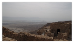
The cliffs on the east edge of Masada are about 1,300 feet (400 m) high and the cliffs on the west are about 300 feet (91 m) high; the natural approaches to the cliff top are very difficult. The top of the plateau is flat and rhomboid-shaped, about 1,800 feet (550 m) by 900 feet (270 m). There was a casement wall around the top of the plateau totaling 4,300 feet (1.3 km) long and 12 feet (3.7 m), with many towers, and the fortress included storehouses, barracks, an armory, the palace, and cisterns that were refilled by rainwater. Three narrow, winding paths led from below up to fortified gates.
History[1]
According to Josephus, a 1st-century CE Jewish Roman historian, Herod the Great fortified Masada between 37 and 31 BCE as a refuge for himself in the event of a revolt. In 66 CE, at the beginning of the First Jewish-Roman War against the Roman Empire, a group of Jewish extremists, called the Sicarii, overcame the Roman garrison of Masada. After the destruction of the Second Temple in 70 CE, additional members of the Sicarii and numerous Jewish families fled Jerusalem and settled on the mountaintop, using it as a base for harassing the Romans.
In 72, the Roman governor of Iudaea Lucius Flavius Silva headed the Roman Legion X Fretensis and laid siege to Masada. The Roman legion surrounded Masada and built a circumvallation wall and then a siege embankment against the western face of the plateau, moving thousands of tons of stones and beaten earth to do so. Josephus does not record any attempts by the Sicarii to counterattack the besiegers during this process, a significant difference from his accounts of other sieges against Jewish fortresses. He did record their raid before the siege on Ein-Gedi, a nearby Jewish settlement, where the Sicarii allegedly killed 700 of its inhabitants.
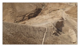
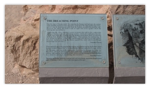
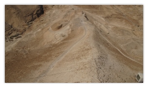
According to Dan Gill, geological investigations in the early 1990s confirmed earlier observations that the 375-foot (114 m) high assault ramp consisted mostly of a natural spur of bedrock that required a ramp only 30 feet (9.1 m) high built atop it in order to reach the Masada defenses. This discovery would diminish both the scope of the construction and of the conflict between the Sicarii and Romans, relative to the popular perspective in which the ramp was an epic feat of construction. The rampart was complete in the spring of 73, after probably two to three months of siege, allowing the Romans to finally breach the wall of the fortress with a battering ram on April 16.[3] According to Josephus, when Roman troops entered the fortress, they discovered that its 960 inhabitants had set all the buildings but the food storerooms ablaze and committed a mass suicide. Modern archaeologists have found no evidence of mass burial at the location and only some thirty skeletons have been recovered on the site.>/p>
Masada Today[1]
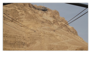
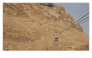
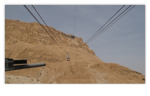
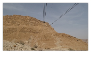
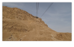
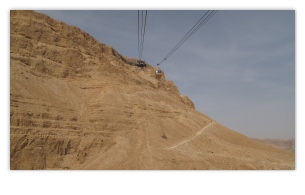
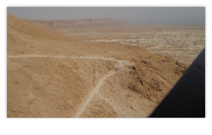
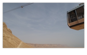
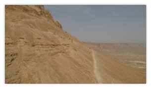
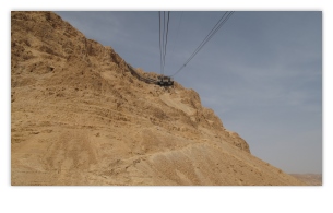
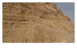
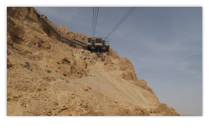
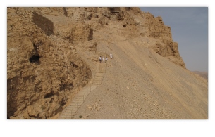
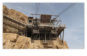
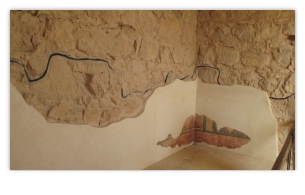
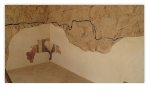
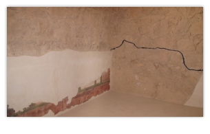
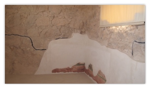
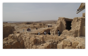
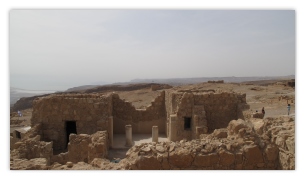
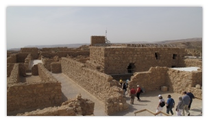
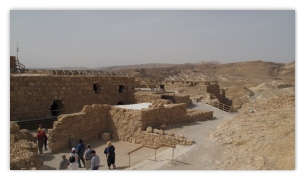
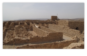
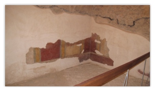
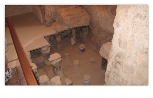
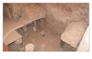
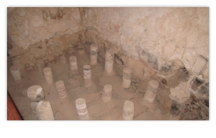
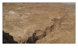
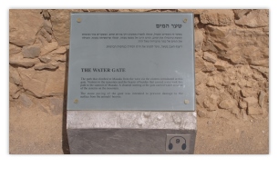
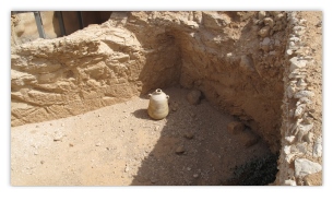
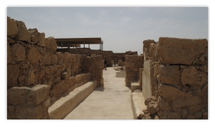
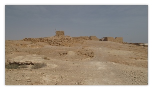
The site of Masada was identified in 1842 and extensively excavated between 1963 and 1965 by an expedition led by Israeli archeologist Yigael Yadin. While a hike up the Snake Path on the eastern side of the mountain (access via the Dead Sea Highway) is considered part of the "Masada experience," a cable car operates at the site for those who wish to avoid the physical exertion. Due to the remoteness from human habitation and its arid environment, the site has remained largely untouched by humans or nature during the past two millennia. The Roman ramp still stands on the western side and can be climbed on foot. Many of the ancient buildings have been restored from their remains, as have the wall-paintings of Herod's two main palaces, and the Roman-style bathhouses that he built. The synagogue, storehouses, and houses of the Jewish rebels have also been identified and restored. The meter-high circumvallation wall that the Romans built around Masada can be seen, together with eleven barracks for the Roman soldiers just outside this wall. Water cisterns two-thirds of the way up the cliff drain the nearby wadis by an elaborate system of channels, which explains how the rebels managed to have enough water for such a long time.
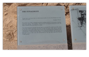
Inside the synagogue, an ostracon bearing the inscription me'aser cohen (title for the priest) was found, as were fragments of two scrolls; parts of Deuteronomy 33-34 and parts of Ezekiel 35-38 (including the vision of the “dry bones”), found hidden in pits dug under the floor of a small room built inside the synagogue. In other loci fragments were found of the books of Genesis, Leviticus, Psalms, and Sirach, as well as of the Songs of the Sabbath Sacrifice.
In the area in front of the northern palace, eleven small ostraca were recovered, each bearing a single name. One reads “ben Yair” and could be short for Eleazar ben Ya'ir, the commander of the fortress. It has been suggested that the other ten names are those of the men chosen by lot to kill the others and then themselves, as recounted by Josephus.
Archaeologist Yigael Yadin's excavations uncovered the skeletal remains of 28 people at Masada. The remains of a male 20-22 years of age, a female 17-18 and a child approximately 12 years old, were found in the palace. The remains of two men and a full head of hair with braids belonging to a woman were also found in the bath house. Forensic analysis showed the hair had been cut from the woman's head with a sharp instrument while she was still alive (a Jewish practice for captured women) while the braids indicated she was married. Based on the evidence, anthropologist Joe Zias believes the remains may have been Romans whom the rebels captured when they seized the garrison. The remains of 25 people were found in a cave at the base of the cliff. Carbon dating of textiles found with the remains in the cave indicate they are contemporaneous with the period of the Revolt and it is believed that as they were buried with pig bones (a Roman practice), this indicates the remains may belong to Romans who garrisoned Masada after its recapture. Others, nevertheless, still maintain that the remains are those of the Jewish Zealots who committed suicide during the siege of Masada, and all were reburied at Masada with full military honors on July 7, 1969. The remnants of a Byzantine church dating from the 5th and 6th centuries, have also been excavated on the top of Masada.
The Masada story was the inspiration for the “Masada plan” devised by the British during the Mandate era. The plan was to man defensive positions on Mount Carmel with Palmach fighters, in order to stop Erwin Rommel's expected drive through the region in 1942. The plan was abandoned following Rommel's defeat at El Alamein.
The Chief of Staff of the Israel Defence Forces (IDF), Moshe Dayan, initiated the practice of holding the swearing-in ceremony of soldiers who have completed their Tironut (IDF basic training) on top of Masada. The ceremony ends with the declaration: “Masada shall not fall again.” The soldiers climb the Snake Path at night and are sworn in with torches lighting the background.
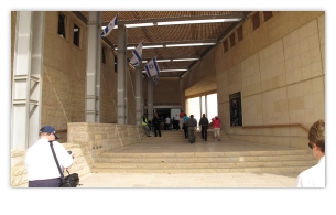
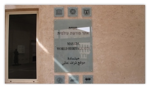
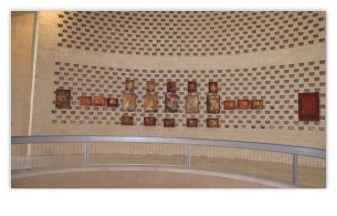
Masada was declared a UNESCO World Heritage Site in 2001. An audio-visual light show is presented nightly on the western side of the mountain (access by car from the Arad road or by foot, down the mountain via the Roman ramp path). In 2007, a new museum opened at the site in which archeological findings are displayed in a theatrical setting. A 2,000-year-old seed discovered during archaeological excavations in the early 1960s has been successfully germinated to become a date plant, the oldest known such germination.
Layout Map of Masada[1]
![layout plan view map of the Masada Fortress [1]](https://www.skytamer.com/archive/SW/Israel/Masada/250/Masada-Map_b.png)
|
We visited the The Masada National Park on 7 March 2009. The following 204 photos were taken during that visit with a Canon G.10 PowerShot 14.7 megapixel camera. Behind the majority of the thumbnail photos shown below is a full-size (4,416 × 2,480 pixel) 16:9 HD formatted photo. Although copyrighted © by Skytamer Images, none of the photos contain messy copyright notices. They all look like they came straight out of your camera … Enjoy! These photos are for your personal use only, and are not to be used for commercial purposes without written permission from Skytamer Images.











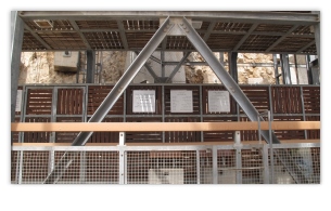


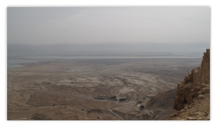
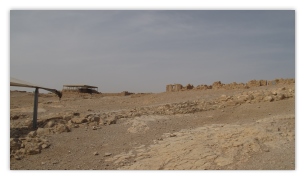

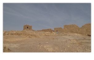






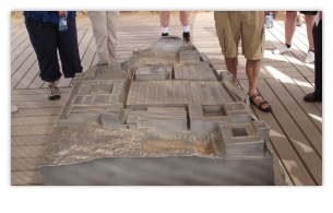
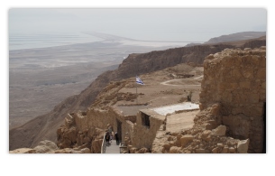


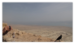
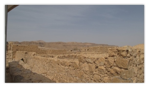
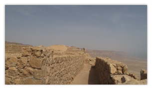
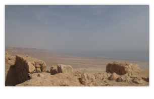
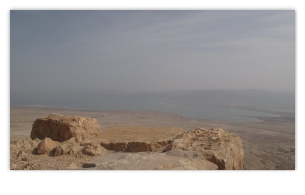
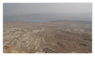
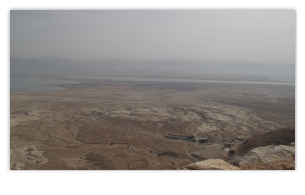

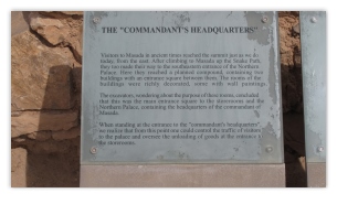
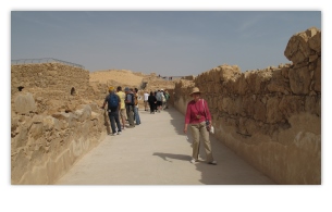
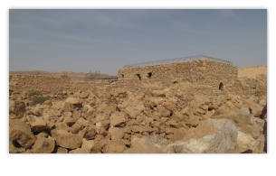

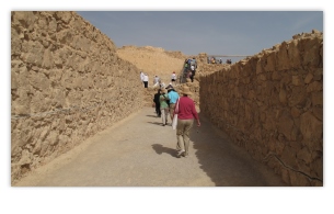

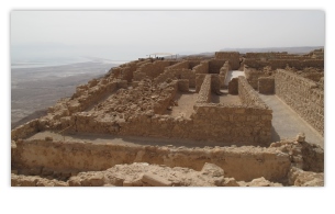

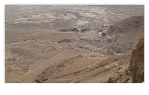



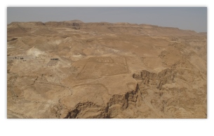















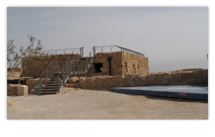


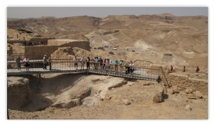


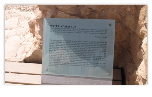


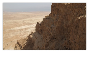















This concludes our visit to Israel's Masada National Park, we hope you enjoyed it. To learn more about the Masada National Park, visit the following Wikipedia site referenced below. Please remember that the photos used on this webpage are copyrighted © by Skytamer Images, and are for your personal use only. Commercial use of these images requires written permission from Skytamer Images.
References
- Wikipedia, Masada
- Google Earth, Satellite Image of Masada
- Skytamer Photo Archive, Masada photos by John Shupek, copyright © 2009 Skytamer Images
Copyright © 1998-2019 (Our 21st Year) Skytamer Images, Whittier, California
All rights reserved


